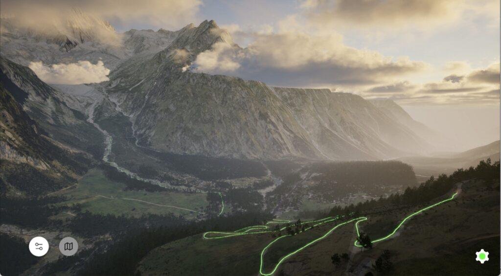
See your race unfold hour-by-hour, before you run it. Know where you’ll be in the early hours, where the sun sets, and where the night begins.
Dynamic Pacing Systems
Mappings’ grade-adjusted pace calculator is based on athlete activity on your trail, helping you test your pacing strategy and prepare for light and weather conditions.
Annotated Elevation Profiles
Study the uphills, downhills and technical sections in 3D, annotated by race organizers and bolstered by Mappings’ algorithmic trail analysis.
Adventure Preparation Starts Here
Our advanced 3D visualization technology gives you unprecedented insight into the outdoors, helping prepare for every challenge and opportunity along the way.
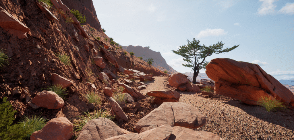
Immersive 3D Visualization
See the entire race route in 3D detail, with 95% accurate relevant land cover and terrain mapping designed for outdoor enthusiasts.
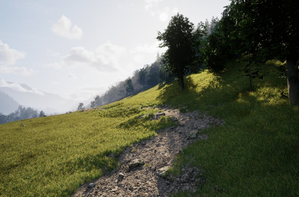
Total Detail
Mappings environments are 400x more detailed than Google Earth, using satellite imagery to bring ground conditions to life.
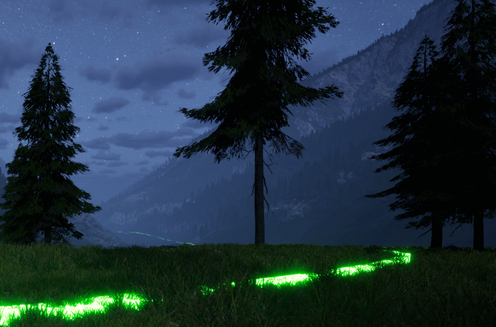
Dynamic Light Simulation
Preview changing light conditions, sun exposure, and shadows, the sun dynamically moving like in real life.
No Downloads Required
Access Mapping environments via streaming on our website, no downloads required.
Crew information
Visualize race day information to help your crew understand access points, checkpoint rules, and good rest spots.
Curated Points-of-Interest
Integration of race information and algorithmic trail analysis to support your safety and your crew.
About Mappings
Our mission is to bring every outdoor landscape to life in true-to-life 3D, making people safer, better preserving wildlands, and strengthening our connection to the landscapes we explore.
Athletes use mappings to prepare for their events, informing footwear, calories, and their crews. Our maps are built by trail runners, for trail runners.
Meet Our Team
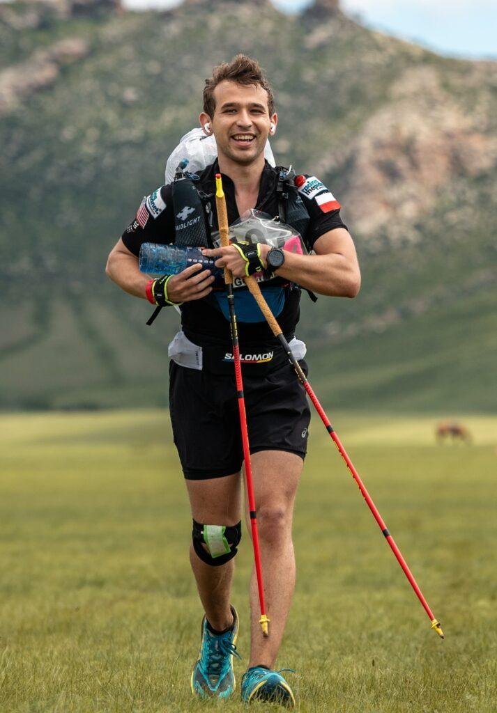
Josh
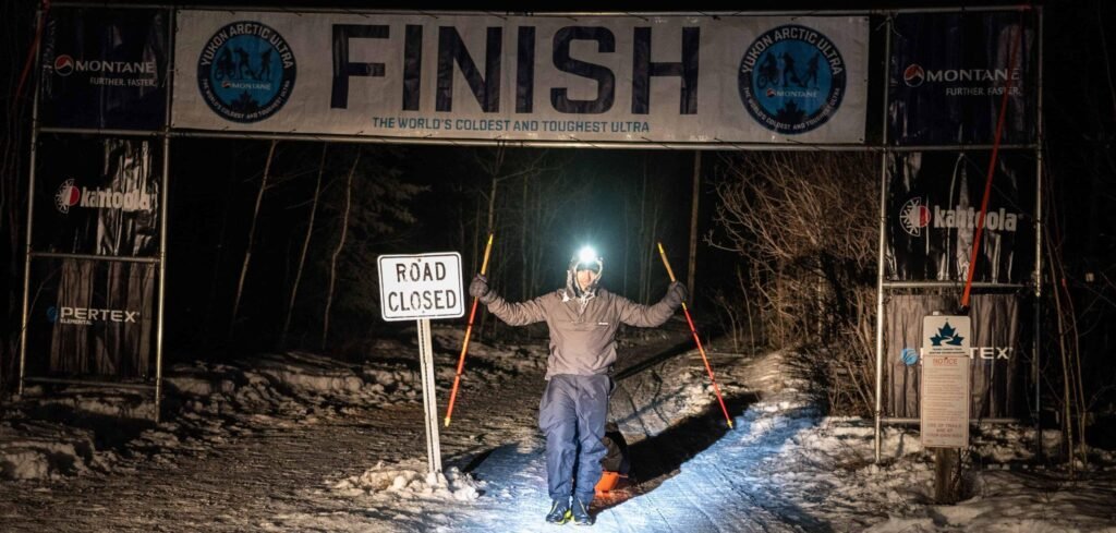
Josh founded Mappings after spending the Yukon Arctic Ultra imagining new ways for athletes to prepare for events and share their race stories with friends and family.
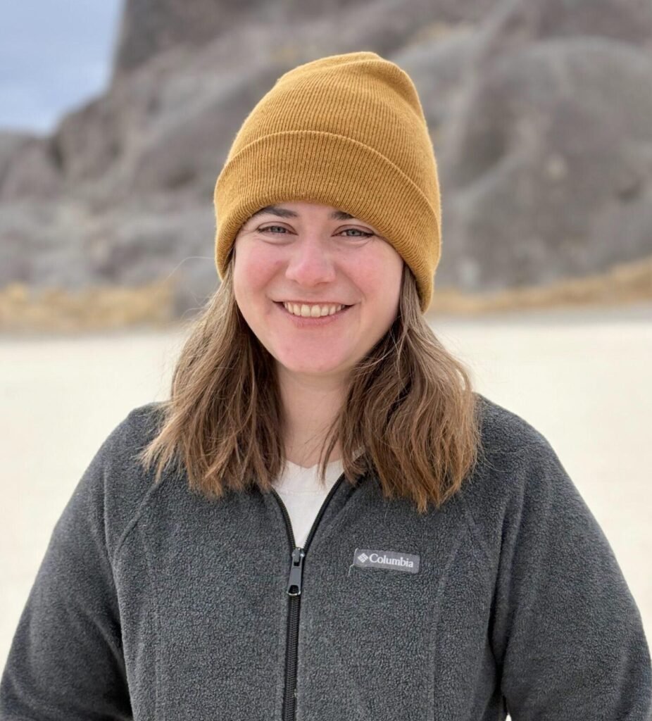
Naomi
Naomi, CTO, leads the scaling of the infrastructure at Mappings and in her free time enjoys backpacking all over the Sierras.
Tony
Tony, Founding Engineer, leads application development at Mappings. A field geologist and backpacker, he has spent over a decade bringing the real world into 3D.